Log in
All resources
Create a design
1,095,866 Free Images of Maps Of Rinteln
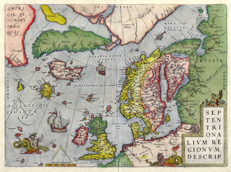
latin-language maps
old maps of the arctic
dutch-language maps
baptista van doetecum
third voyage of willem barentsz
16th-century maps of the arctic
old maps of spitsbergen
old maps of scandinavia
maps of novaya zemlya
old maps of the white sea
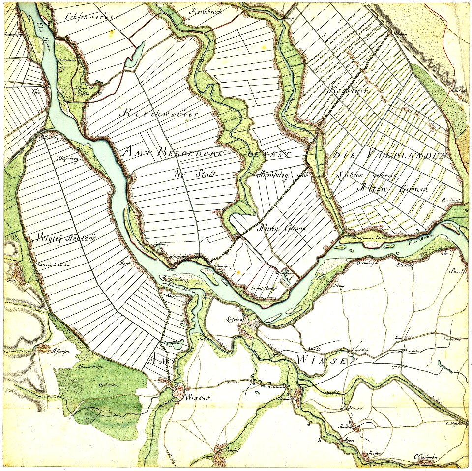
maps of the elbe
alster (river)
third voyage of willem barentsz
16th-century maps of the arctic
third voyage of willem barentsz
16th-century maps of the arctic
third voyage of willem barentsz
16th-century maps of the arctic
overwintering on nova zembla by willem barentsz, 1596-1597
maps in the rijksmuseum amsterdam
third voyage of willem barentsz
history of dutch sea fisheries
third voyage of willem barentsz
history of dutch sea fisheries
the voyage of the vega round asia and europe
third voyage of willem barentsz
overwintering on nova zembla by willem barentsz, 1596-1597
maps in the rijksmuseum amsterdam
itinerario (jan huygen van linschoten)
latin-language maps
stadtbefestigung rinteln
maps of rinteln
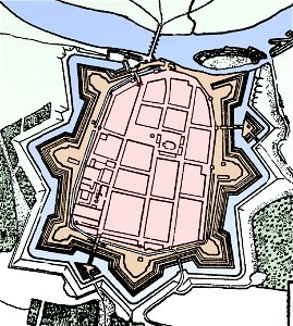
stadtbefestigung rinteln
maps of rinteln
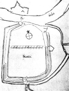
stadtbefestigung rinteln
maps of rinteln
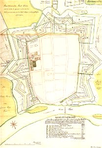
stadtbefestigung rinteln
maps of rinteln
works after map of amsterdam, 1544
ships on maps
maps in the library of congress
maps of alexandria, virginia
maps from the earth and its inhabitants, vol. vi
charles eugène perron
maps from the earth and its inhabitants, vol. vi
russia in the 19th century
maps from the earth and its inhabitants, vol. vi
russia in the 19th century
west-indische compagnie
image restoration
1639 maps
1670 maps
135th meridian east
tasman map
old county maps of lancashire
copper engravings
history of visualization
dot maps
maps from the earth and its inhabitants, vol. vi
maps indicating exploration
maps from the earth and its inhabitants, vol. vi
maps indicating exploration
17th-century maps of sri lanka
description de l'universe
european interpretation of islamic art
old maps of baghdad
1876 maps
1884 maps
1660 in new york city
fort amsterdam
17th-century maps of catalonia
coats of arms of catalonia
maps of mars by the mars global surveyor moc
maps of oxia palus quadrangle
island of california
image restoration
1876 maps
1884 maps
historical maps of schmallenberg
atlas novus (blaeu)
old maps of spitsbergen
old maps of the arctic
maps of colonial brazil
atlas miller
claes jansz. visscher (i)
joannes van doetecum (i)
media from stadsarchief rotterdam
baroque
typus orbis terrarum
1570 maps
valleys and canyons on mars
mars topography
kaart van het baljuwschap kennemerland
maps in the rijksmuseum amsterdam
17th-century maps of iceland
copper engravings
paintings in the musée des arts décoratifs
paintings by pierre-antoine baudouin
maps of del norte county, california
1866 maps of california
city investing building
astor house building
maps in the library of congress
maps by jodocus hondius
1805 maps of the united states
maps by john cary
maps of oxia palus quadrangle
mars topography
the generall historie of virginia (john smith)
17th-century maps of bermuda
maps from the earth and its inhabitants, vol. vi
maps of the silk road
photos of mercury by mariner 10
maps of mercury
impact craters on mercury
impressionism
19th-century portrait paintings in the musée national du château de versailles
jean-adolphe beaucé
carta hydrographica y chorographica de las yslas filipinas
baroque painting
copper engravings of german people
works by philipp kilian
carte de france by guillaume delisle (1721)
philippe buache
józef oleszkiewicz
classicism
jean-baptiste wicar
neoclassicism
james monroe in art
clyde osmer deland
portrait paintings by élisabeth vigée-lebrun (italian royalty)
portraits of children by élisabeth vigée-lebrun
19th-century maps of the malay archipelago
19th-century maps of southeast asia
père-lachaise cemetery in the 19th century
old maps of the père-lachaise cemetery
paintings by joseph dorffmeister in the kunsthistorisches museum
portrait paintings of ferdinand iii, grand duke of tuscany
portrait paintings in the kimbell art museum
portrait paintings by louis-léopold boilly
18th-century maps of gibraltar
spain in the 1750s
maps of mercury
impressionism
lunae palus quadrangle
mars topography
19th-century maps of tibet
1850s maps of china
a voyage to terra australis
1814 engravings
glinde
bill
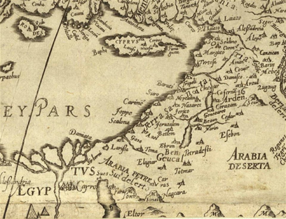
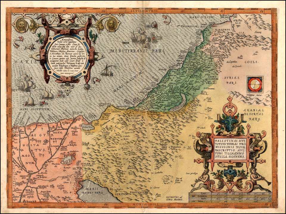
old maps of jordan
catalan atlas
old maps of india
qinghai lake
old maps of india
qinghai lake
old maps of india
qinghai lake
maps by sebastian münster
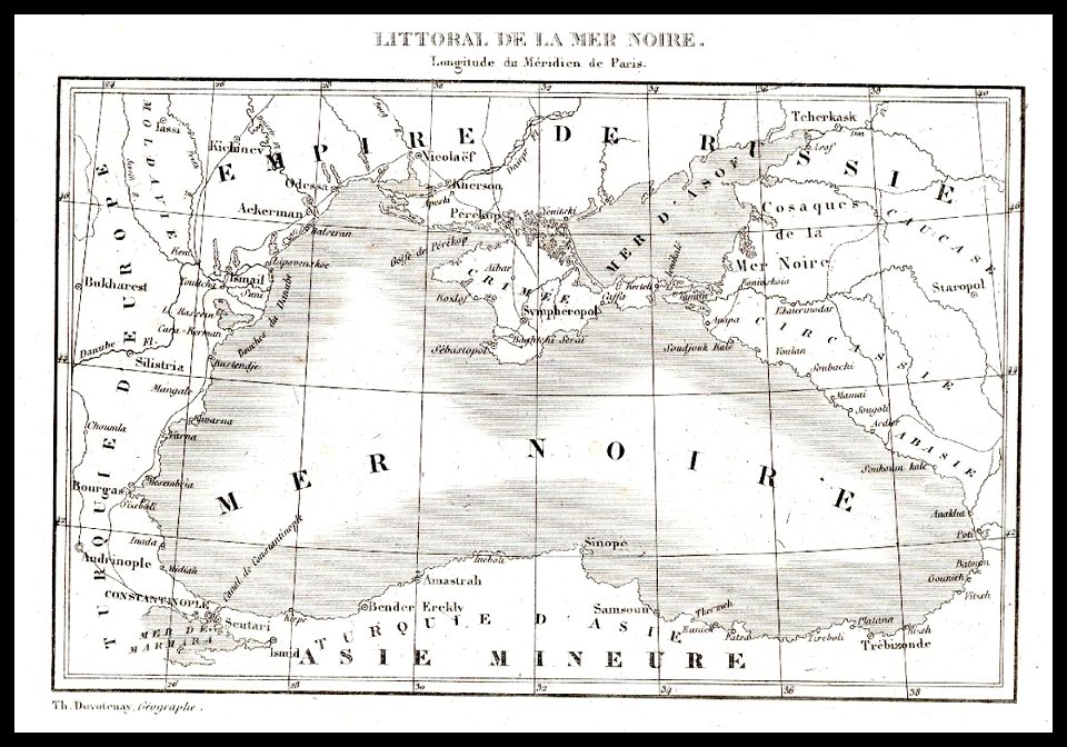
old maps of crimea
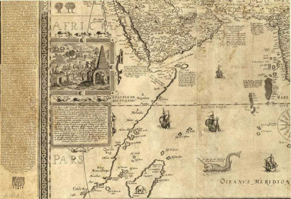
old maps of guinea-bissau
old maps of liberia
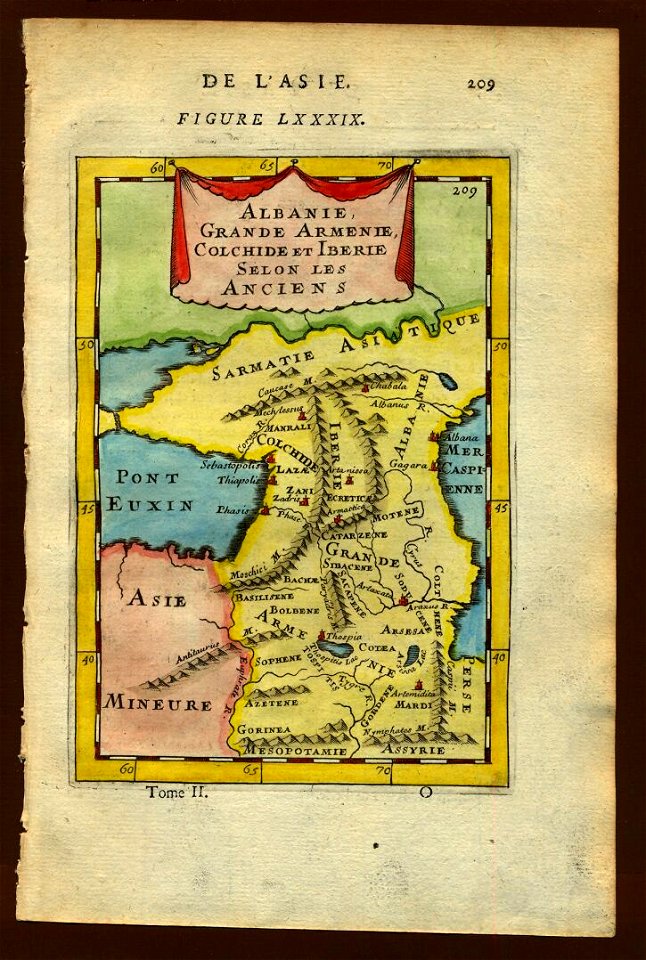
19th-century maps of the caucasus
karl spruner von merz
maps by joseph hutchins colton
1854 maps of ohio
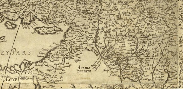
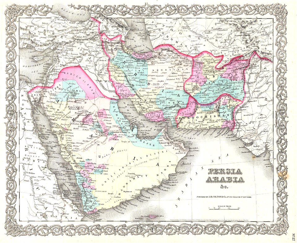
old maps of the middle east
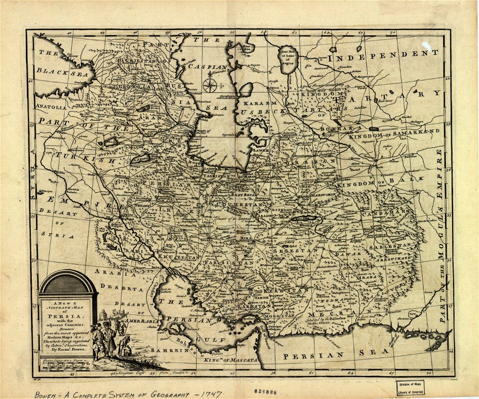
1590 maps of iran
old maps of greenland
old maps of iceland
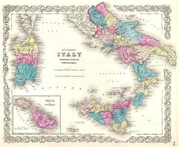
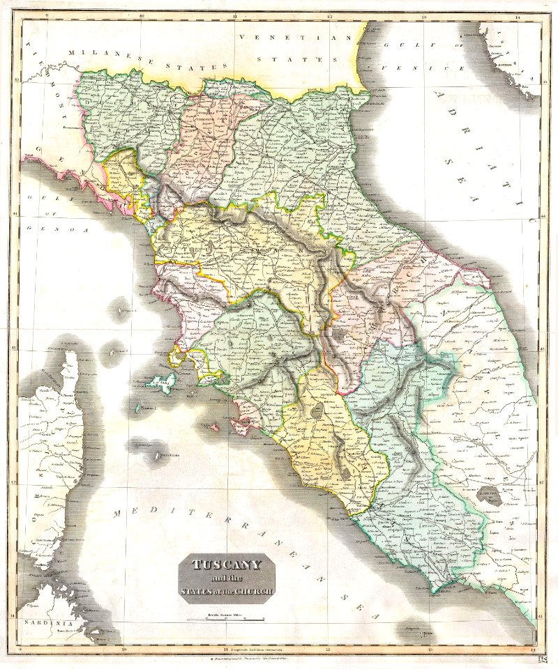
old maps of calabria
old maps of malta
1590 maps of turkmenistan
maps of kazakhstan
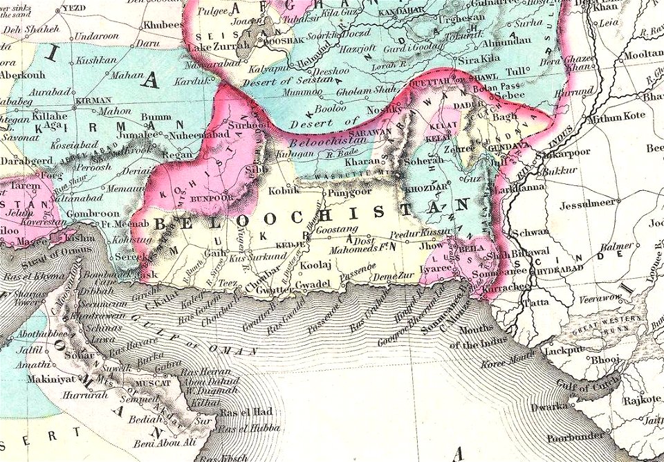
old maps of balochistan
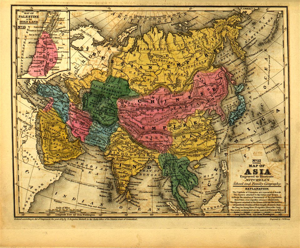
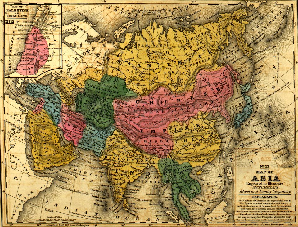
old maps of asia
old maps of balochistan
old maps of asia
old maps of india
old maps of japan
old maps of cameroon
old maps of liberia
english-language maps of europe
maps by john thomson
17th-century maps of georgia
old maps of turkey
old maps of the danube
old maps of bohemia
16th century maps of the middle east
1590 maps of israel
maps in the library of congress
maps of the history of iran
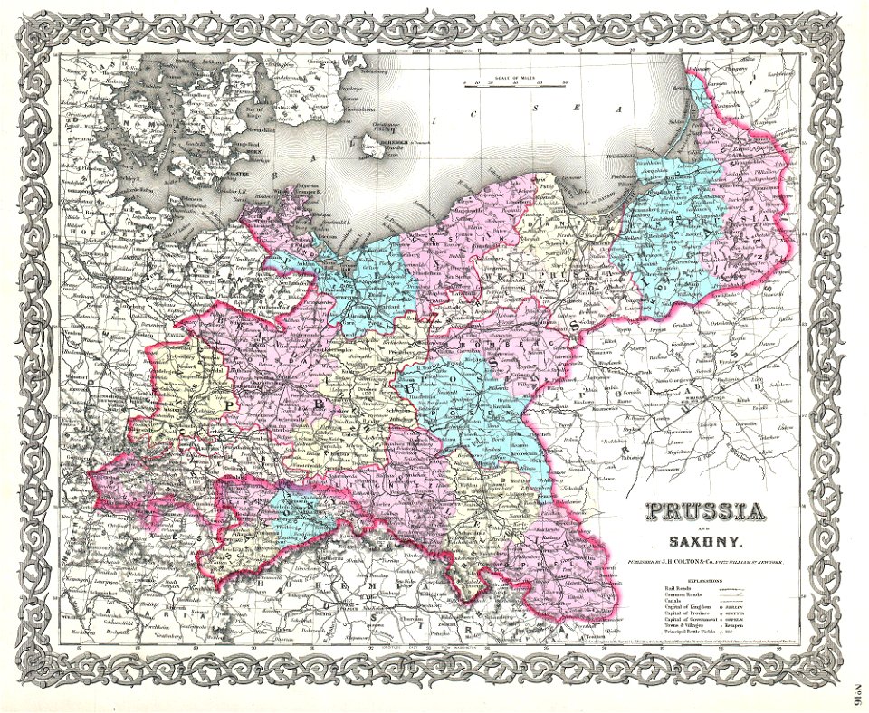
old maps of saxony
1856 maps
old maps of indonesia
old maps of japan
old maps of guangzhou
maps by brockhaus
maps of midian
ships on maps
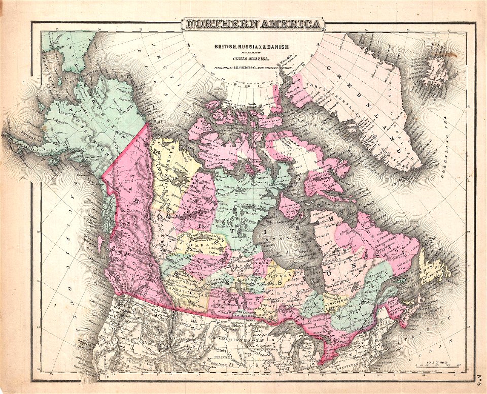
old maps of greenland
old maps of canada
old maps of samegrelo
french-language maps
latin-language maps
ships on maps
hamburger
vierlande
1 - 100 of 1,095,866
Next page
/ 10959


![[Nautical Atlas of the World, called Miller Atlas]; 2-5. [Miller Atlas: sheets 2 to 5]. sheet 5, António de Holanda, 1519](https://cdn.creazilla.com/illustrations/10000850095/nautical-atlas-of-the-world-called-miller-atlas-2-5-miller-atlas-sheets-2-to-5-sheet-5-antnio-de-holanda-1519-sm.webp)